Vancouver, BC, Canada, February 28, 2014 — Nupoint Systems Inc., a satellite data communication equipment and service provider, today announced a project with Alberta Government Environment and Sustainable Resource Development, River Forecast Section to monitor river ice breakup with Remote Viewer.
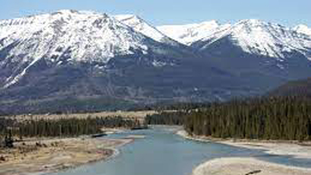
Remote Viewer will improve situational awareness and breakup forecasting on the Athabasca River for the Municipality of Wood Buffalo. The goal of using Nupoint’s Remote Viewer is to visually verify the river ice condition when an ice movement alarm is triggered at a remote river gauge. Occasionally, there are false alarms and being able to visually see what is happening at the gauge will save time waiting until the next river level reading and potentially reduce helicopter flights for visual confirmation.
“I am pleased to announce our project with the Alberta Government Environment and Sustainable Resource Development, River Forecast Section for the Nupoint Remote Viewer, a satellite connected camera system, which will be used to visually monitor river ice conditions. We are confident that Remote Viewer will provide a simple cost effective way to monitor the dynamic conditions associated with river ice breakup.” said Wayne Carlson, President and CEO of Nupoint Systems Inc.
Remote Viewer is quick and easy to set up and provides users with a cost effect way to visually monitor remote locations by combining digital photography with satellite connectivity. Photos can be captured autonomously, on demand, or with local triggered events and are transmitted to the user’s server or sent via email. Users can dynamically change the photo schedule to deal with changing circumstances.
About Nupoint Systems
Nupoint satellite communications solutions are designed by Nupoint Systems and enable environmentalists, governments, natural resource operators, and climate control specialists to transmit and access images from remote locations via satellite (Iridium and Globalstar) and cellular networks. When Nupoint monitoring systems are set up in remote locations, users can incorporate cameras, weather stations, and data sensors to work 24/7 to observe environmental conditions and manage its operations through a comprehensive system management client portal.


