About BC Hydro remote monitoring needs
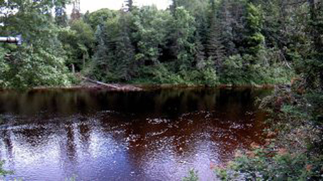
Obtaining reliable, high quality, real-time environmental data in BC’s harsh climate is a challenge for BC Hydro’s reservoir operations planners, hydrologic modelers and forecasters, weather forecasters, data managers, and hydrometeorologic field technicians who all rely on this data to safely and effectively perform their jobs. We fund and operate a network of over 230 remote climate, snow, and hydrometric stations to support these critical roles, with the majority of those stations contributing data to both federal and provincial monitoring networks.
The Problem
While collecting hydroclimatic data in BC’s harsh climate we often encounter a number of problems that can hamper the quality and reliability of the data collected. For example, snowcaps can form on the orifice of precipitation gauges, river ice can affect water levels, and transmission antennae can break off due to heavy snow load causing data transmission to stop. Experienced data managers can diagnose many of the data issues using the transmitted data and metadata, but some uncertainty often remains.
“At BC Hydro multiple Nupoint’s remote satellite cameras are being used to solve some of the real challenges posed with remote monitoring in BC’s harsh climate; the introduction of the remote satellite camera systems has been a great success, meeting our image quality expectations along with very reliable data transmission and low power consumption. Hydrologists use the photos delivered by the system primarily to monitor existing on-site monitoring equipment. The images are also used by hydrologists to monitor snow line elevation; by meteorologists to watch the weather; by helicopter pilots to plan their work in remote and mountainous areas of the province; and by avalanche professionals as evidence of recent activity for preparing avalanche travel advisories,” says Frank Weber, P.Geo., Hydrometeorologic Field Programs Scientist, Generation Resource Management, BC Hydro
The solution
To gain a better understanding of the performance of the instrumentation deployed in the field, BC Hydro has field-tested Nupoint’s remote satellite camera systems to obtain real-time images of its monitoring sites and essentially ‘monitor the monitoring equipment. Under normal circumstances, the images are sent from remote locations to the office once a day in the morning. The images serve a number of additional purposes: hydrologists monitor the elevation of the snow line; meteorologists watch the weather; helicopter pilots use the weather information to plan their work in remote and mountainous areas of the province, and avalanche professionals use evidence of recent activity for preparing avalanche travel advisories.
“The introduction of the Remote Viewer satellite camera systems to our remote monitoring program has been a great success, meeting our image quality expectations along with very reliable data transmission and low power consumption,” says Frank Weber. “We plan to revise our camera mounting locations and methods during the warmer summer months to further enhance the system functionality and effectiveness and look forward to deploying more systems in the fall.”