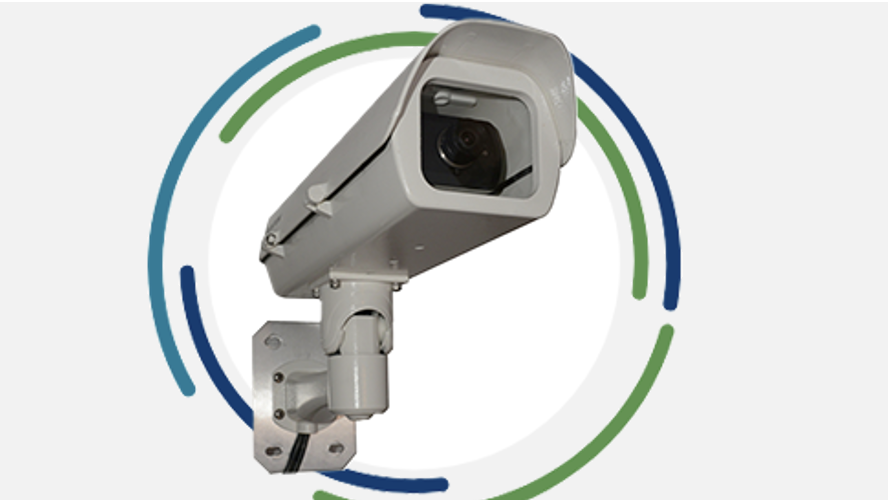
Nupoint Systems has launched Aerimis, a remote satellite monitoring system that operates anywhere in the world*. This ruggedized, reliable camera system operates
Camp Denali A spectacular wilderness lodge Family-owned and operated by Simon Hamm and his wife Jenna, Camp Denali is a spectacular wilderness
Nupoint Systems has partnered with Semtech, formerly Sierra Wireless, to expand its remote camera system offering to operate on cellular networks around the globe. Semtech, a leader in smart connectivity for cellular technology, delivers cellular hardware and services to allow Nupoint’s remote monitoring camera systems to transmit images and data on cellular networks anywhere on Earth*.
The introduction of robust, ground-based satellite camera monitoring that can operate unattended for months or years at a time has significantly enhanced the tools available to experts studying the distribution and movement of water on and below the Earth’s surface.
Nupoint partnered with Iridium shortly after the introduction of the Certus 100, and early in 2024, we launched our global satellite camera, Aerimis.
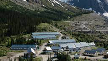
Located in Northwestern British Columbia, within Tahltan Territory, approximately 110 kilometers southwest of Dease Lake, the Galore Creek Project boasts a rich history.
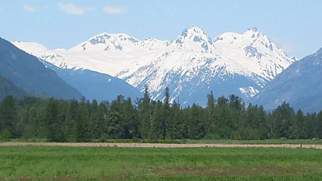
The Mount Meager massif is a group of volcanic peaks located 150 km (93 mi) north of Vancouver at the northern end of the Pemberton Valley and reaches a maximum elevation of 2,680 m (8,790 ft).
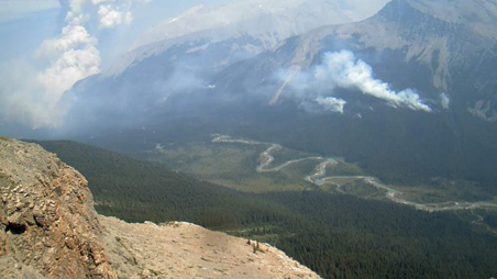
As a fourteen-year BC Wildfire Preventions Service veteran, professional forester Andy Low knows more than a few things about wildfire prevention and suppression.
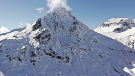
Nupoint Systems has donated to the Centre for Natural Hazards Research with a Remote Viewer™—Fixed Sight Camera System to monitor the activity of Mount Meager.
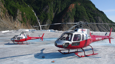
TEMSCO Helicopters, one of the largest helicopter tour and commercial aviation companies in Alaska, uses multiple remote satellite cameras placed at strategic remote locations.
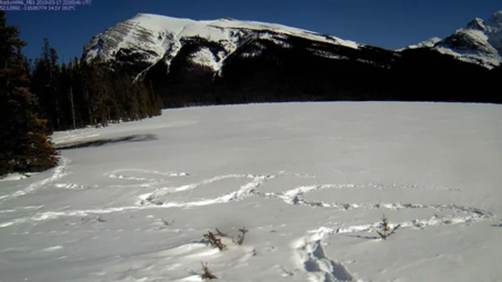
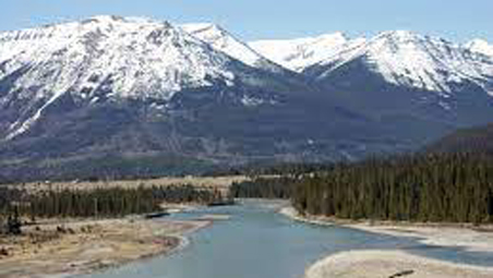
A stranded Edmonton hiker, west of Rocky Mountain House in Alberta, was discovered in the nick of time thanks to satellite camera technology developed by Delta based Nupoint Systems.
Obtaining reliable, high quality, real-time environmental data in BC’s harsh climate is a challenge for BC Hydro’s reservoir operations planners, hydrologic modelers and forecasters, weather forecasters, data managers, and hydrometeorologic field technicians who all rely on this data to safely and effectively perform their jobs.
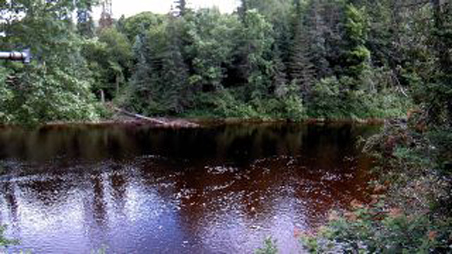
Nupoint Systems Inc., a satellite data communication equipment and service provider, today announced a project with Alberta Government Environment and Sustainable Resource Development, River Forecast Section to monitor river ice breakup with Remote Viewer.
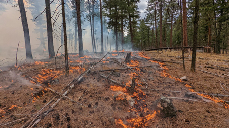
Nupoint Systems Inc., a satellite data communication equipment and service provider, announced a sale of Nupoint Systems’ Remote Viewer™ to Alberta Rocky Mountain Wildfire Management Area to enable remote monitoring of prescribed burns.